


Smartphone use across Africa has grown rapidly, reaching 226 million users and expected to nearly triple by 2020. According to the GSMA, a British mobile industry group, most of this growth is concentrated in Egypt, Nigeria, and South Africa – but adoption is rising quickly in countries like Cameroon and the Democratic Republic of Congo as well.
With so many people using their phones for mobile money, remittances, social media, gaming, and streaming, it might be easy to overlook other uses. Yet for the Missing Maps organization, smartphones have become tools for humanitarian mapping, helping aid groups reach communities more effectively.
The idea is simple: large areas of the world – especially in sub-Saharan Africa – remain unmapped by Google or other services. That makes it harder for organizations such as Médecins Sans Frontières to respond quickly during emergencies like the yellow fever outbreak in Kinshasa. Even government agencies often struggle to navigate unfamiliar rural regions or urban neighborhoods.
To solve this, Missing Maps, founded in 2014, works with NGOs and volunteers around the world to create detailed maps of vulnerable areas such as Dzivaresekwa in Zimbabwe or Ushirombo in Tanzania using OpenStreetMap.
Local partners provide ground information, while volunteers from Europe to South America contribute digitally. Mapping doesn’t require expert skills – it’s a simple, game-like process where beginners make basic contributions that professionals later refine.
MapSwipe: Turning Mapping Into Action
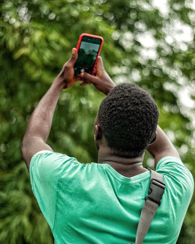
A new tool, the MapSwipe app, lets anyone with a smartphone help map buildings, roads, and landmarks in at-risk communities. Users select a task, tap on visible features in satellite images, and support crisis response teams by identifying key locations.
The app works offline too – users can download map sections in advance to save data or avoid connectivity issues.
Lead designer Sadok Cervantes explained to CityLab that the goal was to make mapping “easy and intuitive,” so users would see it as a fun activity rather than a chore. Whether waiting at an airport in Lagos or a clinic in Kigali, users can map areas as if playing a mobile puzzle game.
Volunteers worldwide are contributing. Teams in Spain and France have mapping events planned this week, while groups in Australia and the United States are preparing for more in January.
Recent efforts include mapping South Kivu province in DR Congo – completed by over 1,600 volunteers – and supporting projects addressing conflict in Mali, water access in Zimbabwe, refugee nutrition in Chad, and women’s health in Guinea.
Local teams then refine the data to target public health needs in places like Cyahinda near the Rwanda – Burundi border, or to help reduce fire risks in Khayelitsha, South Africa.
Mapping for Resilience and Recovery
The importance of mapping became clear during Sierra Leone’s 2014 Ebola outbreak. As the Financial Times reported, maps helped health workers understand where infections were spreading – whether from cities, villages, or across borders – and where to direct their response.
Having reliable data before a disaster or disease outbreak is vital, but updated maps are equally useful during and after a crisis. In floods or earthquakes, knowing that a bridge exists – or has collapsed – can determine how quickly help arrives.
Accurate maps also support recovery and rebuilding, guiding decisions on infrastructure, healthcare delivery, and long-term disaster preparedness.
For the volunteers behind Missing Maps and MapSwipe, each tap and trace contributes to a larger mission: making sure no place – and no person – is left off the map.