



“A Volcano Painted the Sky”: NASA Captures Klyuchevskoy’s Fiery Eruption as a 1,000-Mile Plume Stretches Across the Pacific
 By
Kwame Asante
By
Kwame Asante
| IN A NUTSHELL |
|
In the remote and rugged terrain of Russia’s Kamchatka Peninsula, the year 2023 witnessed a breathtaking natural display as the Klyuchevskoy volcano erupted with unparalleled intensity. This towering stratovolcano, known for its majestic presence, released twin lava flows that captured the attention of both scientists and onlookers worldwide. The eruption was a testament to the formidable forces residing beneath the Earth’s surface, manifesting in a 1,000-mile-long smoke plume. Captured by NASA’s Aqua satellite, this event not only highlighted the extraordinary volcanic activity but also underscored the importance of technological advancements in understanding and managing volcanic hazards. As we explore this phenomenon, we delve into the global implications of such eruptions and the technological tools aiding our comprehension.
The Dramatic Eruption of Klyuchevskoy Volcano
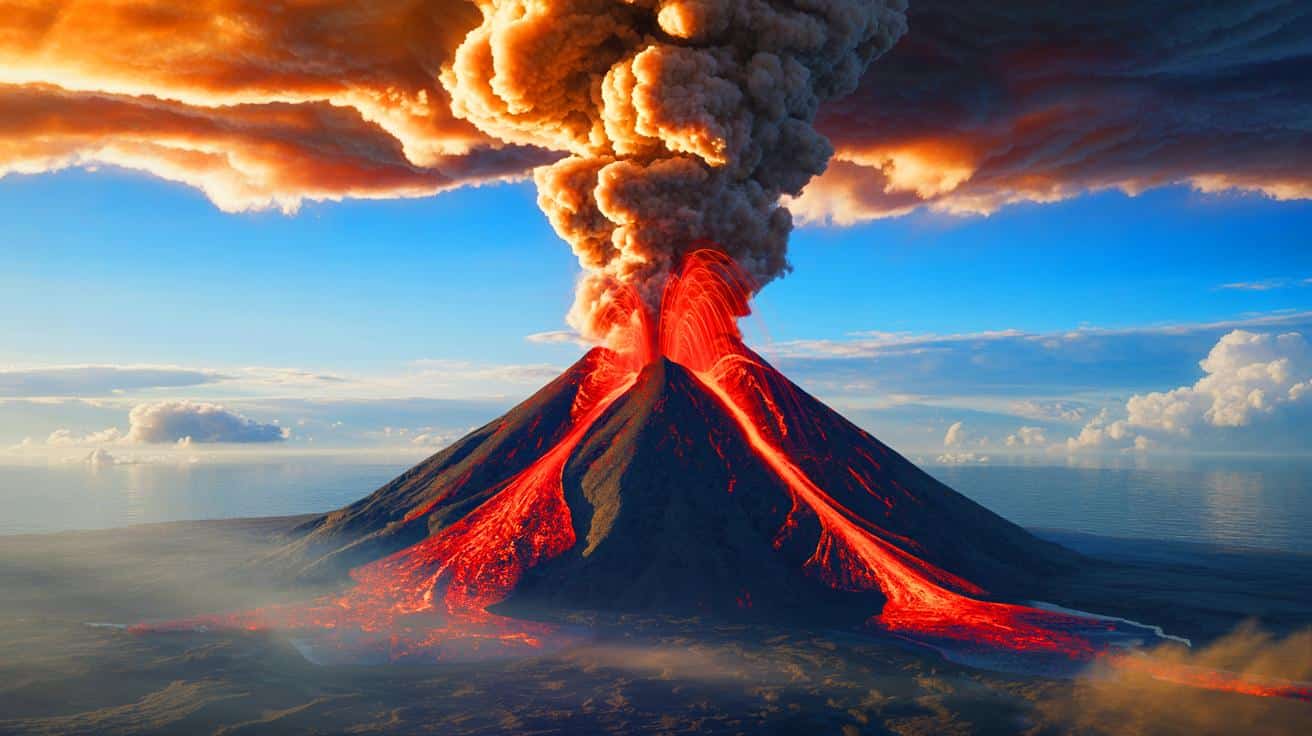
The Klyuchevskoy volcano, also referred to as Klyuchevskaya Sopka, stands as a monumental natural feature at 15,597 feet above sea level. Situated in the Kamchatka Peninsula, it is renowned as the tallest volcano across Asia and Europe. The 2023 eruption unfolded with remarkable grandeur, producing twin lava streams that mirrored the appearance of fiery horns crowning its summit. Captured by NASA’s Aqua satellite, the eruption on November 1, 2023, was a spectacle to behold, casting a 1,000-mile smoke trail over the Pacific Ocean.
This eruption was part of an active phase that spanned from June 22 to December 31, 2023. Throughout this period, Klyuchevskoy discharged not only lava and ash but also toxic gases, disrupting air traffic in the vicinity. The eruption plume soared to an impressive height of 7.5 miles above the Earth’s surface, demonstrating the substantial environmental impact such volcanic events can exert. The satellite imagery, enhanced with infrared technology, offered a breathtaking visual of the eruption, where a blueish tint distinguished the clouds from the volcanic plume.
The Kamchatka Peninsula: A Hotspot of Volcanic Activity
The Kamchatka Peninsula, home to Klyuchevskoy, is a region marked by intense volcanic activity, lying along the Pacific “Ring of Fire.” This vast 25,000-mile arc hosts two-thirds of the globe’s terrestrial volcanoes and accounts for approximately 90% of all earthquakes worldwide. The peninsula serves as a crucial site for observing volcanic and tectonic phenomena.
Within a 20-mile radius of Klyuchevskoy, several other significant volcanoes, including Bezymianny, Ushkovsky, Tolbachik, Zimina, and Udina, stand tall. These volcanic formations have emerged over the past 10,000 years, making them relatively young in geological terms. Bezymianny, once considered dormant, surprised scientists with an unexpected eruption in 1955, remaining active ever since. The concentrated volcanic activity in this region provides invaluable insights into the dynamic processes shaping our planet.
Understanding the Global Impact of Volcanic Eruptions
The eruption of Klyuchevskoy is not an isolated occurrence but rather part of a broader pattern of volcanic activity with potential global repercussions. When significant volcanoes erupt, they release ash and gases into the atmosphere, influencing climate patterns and air travel. The emission of sulfur dioxide, for instance, can lead to the formation of aerosols that reflect sunlight, potentially cooling the Earth’s surface.
Volcanic eruptions also pose substantial risks to local ecosystems and human populations. The fallout of ash can damage agricultural crops, contaminate water sources, and pose respiratory health hazards. The 2023 eruption of Klyuchevskoy serves as a stark reminder of these potential dangers, emphasizing the necessity of monitoring volcanic activities to mitigate risks and inform preparedness strategies. Data gathered from such eruptions contribute to our understanding of volcanic hazards and their broader environmental impacts.
The Role of Technology in Volcanic Monitoring
Technological advancements have transformed the way volcanic activity is monitored and studied. The use of satellites, such as NASA’s Aqua, enables real-time observation of eruptions from space, providing crucial data on plume composition, altitude, and dispersion. This information is essential for forecasting the potential impact of volcanic events on climate and air traffic.
Ground-based monitoring systems, including seismographs and gas sensors, complement satellite data by offering detailed insights into a volcano’s behavior before, during, and after eruptions. These technologies collectively enhance our ability to predict eruptions and assess their potential consequences. The integration of satellite imagery with ground observations is vital for developing effective volcanic risk management strategies and ensuring the safety of communities residing near active volcanoes.
As we continue to study volcanic phenomena like the Klyuchevskoy eruption, we gain a deeper understanding of the powerful forces shaping our planet. These natural events challenge us to enhance our predictive capabilities and develop strategies to mitigate their impacts. How can advances in technology further improve our understanding and management of volcanic risks, ensuring better preparedness for future eruptions?