

This Shocking Revelation Terrifies: South Africa Rising From Ocean Due To Droughts, Changing Everything You Thought You Knew
 By
Nomvula Dlamini
By
Nomvula Dlamini
| IN A NUTSHELL |
|
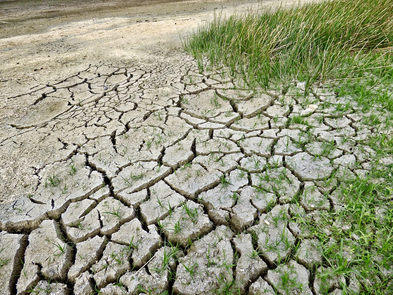
The phenomena of land uplift in South Africa have sparked a wave of scientific interest and debate. Recent studies reveal that specific regions are experiencing a rise in land elevation by up to two millimeters annually. Initially attributed to geological forces, new research suggests that droughts play a pivotal role in this occurrence. This revelation reshapes the understanding of how environmental factors intertwine with geological processes. With climate change exacerbating drought conditions, the implications of these findings extend beyond scientific curiosity, offering a glimpse into potential future challenges for the region and the world.
Understanding the Rising Land
South Africa’s rising land has been a topic of discussion among geologists and environmental scientists for some time. A network of GPS receivers meticulously measures land positions, providing data with millimeter precision. Between 2012 and 2020, these receivers recorded an average land elevation increase of six millimeters. Notably, the Western Cape province, severely affected by drought between 2015 and 2019, saw significant uplift. Other regions like Pretoria and northern KwaZulu-Natal also displayed similar patterns, albeit to a lesser extent.
Initial theories pointed towards mantle plumes as the cause. These are tube-like structures carrying hot material from the Earth’s deeper mantle, thought to cause the crust above to bulge. However, recent insights from the University of Bonn propose that the substantial loss of groundwater and surface water due to droughts might be the primary cause of this uplift. This new perspective challenges existing geological theories, adding a new layer of complexity to our understanding of Earth’s surface dynamics.
Droughts: A Key Factor
The research team, led by Dr. Makan Karegar, delved into precipitation patterns to explore this phenomenon further. They discovered a striking correlation: regions severely impacted by droughts experienced more pronounced land uplift. This observation led them to utilize data from the GRACE satellite mission, which measures changes in Earth's gravitational forces. These changes reflect variations in water mass, including surface water, soil moisture, and groundwater.
By analyzing satellite data, scientists could divide South Africa into zones, observing a clear link between reduced water mass and increased land uplift at GPS stations. High-resolution hydrological models further supported these findings, illustrating the impact of droughts on the water cycle. Researchers liken the Earth’s crust to a sponge, expanding as it dries out due to water loss. This analogy highlights how environmental changes directly influence geological structures, offering a new perspective on land uplift.
The Role of Climate Change
As climate change continues to alter precipitation patterns, the frequency and severity of droughts are expected to increase. South Africa serves as a poignant example, having faced a devastating drought between 2015 and 2019. During this period, Cape Town was on the brink of "Day Zero," a scenario involving a complete water shutdown. The repercussions of such events underscore the necessity of understanding and addressing environmental changes.
GPS-based monitoring provides a novel method for tracking drought conditions by measuring land uplift caused by water depletion. This technology is crucial for monitoring underground water reserves, vital for drinking, irrigation, and industrial purposes. As climate change progresses, the ability to precisely track these changes becomes increasingly important. This research underscores the need for proactive measures to mitigate the effects of environmental shifts on both local and global scales.
This Shocking Discovery Reveals Earth’s Secret Plan To Split Africa And Change Our World Forever
Implications for Future Research
The findings from the University of Bonn have significant implications for future research and policy-making. By highlighting the connection between droughts and land uplift, scientists are encouraged to explore further the interactions between environmental and geological processes. This research not only provides new insights into South Africa’s geological landscape but also serves as a reminder of the broader implications of climate change.
Understanding these dynamics is crucial for developing strategies to manage water resources and mitigate the impacts of environmental changes. As the world grapples with the challenges posed by climate change, studies like these offer valuable insights into the complex interplay between natural phenomena. The potential for similar occurrences in other regions underscores the importance of global cooperation in addressing these challenges.
As South Africa continues to grapple with the effects of climate change and environmental shifts, the question remains: how will this evolving understanding of land uplift influence future strategies for managing natural resources and mitigating environmental impacts on a global scale?